Copyright © 2021 Applied Geospatial Research Group

This tool is part of the Boreal Ecosystem Recovery and Assessment (BERA) Project, and was developed by the Applied Geospatial Research Group.
Applied Geospatial Research Group. (2021). Forest Line Mapper: A tool for enhanced delineation and attribution of linear disturbances in forests [Computer software]. Calgary, AB, Canada.
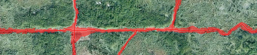
FLM is a series of script tools for facilitating the high-resolution mapping and studying of forest lines (petroleum exploration corridors in forested areas) via processing canopy height models (LiDAR or photogrammetry derived raster images where pixel-values represent the ground-height of vegetation).
Given that the process of manually digitizing detailed small-scale (boreal) forest lines is slow and prone to human error, a semi-automated solution is preferred for large-scale application areas. Additionally, high-resolution CHMs allow for improved forest line spatial analysis.
This work is part of the Boreal Ecosystem Recovery and Assessment (BERA) project, and was supported by a Natural Sciences and Engineering Research Council of Canada Collaborative Research and Development Grant (CRDPJ 469943-14) in conjunction with Alberta-Pacific Forest Industries, Cenovus Energy, ConocoPhillips Canada and Canadian Natural Resources.
This program is free software: you can redistribute it and/or modify it under the terms of the GNU General Public License version 3.0 as published by the Free Software Foundation.
This program is distributed in the hope that it will be useful, but WITHOUT ANY WARRANTY; without even the implied warranty of MERCHANTABILITY or FITNESS FOR A PARTICULAR PURPOSE. See the GNU General Public License for more details.
Contact the Applied Geospatial Research Group at appliedgrg@gmail.com